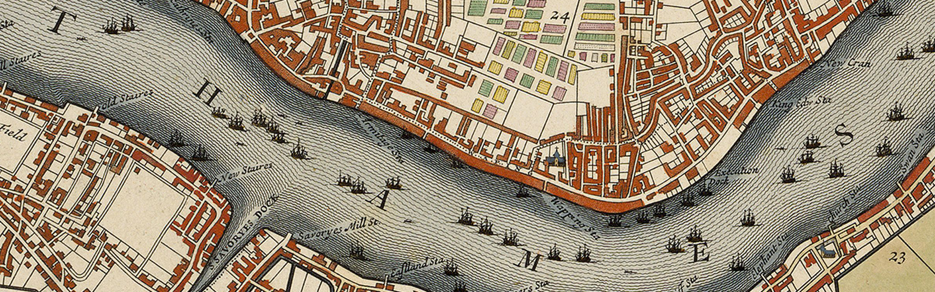
Waterways is a place-based project that explores the impact of bodies of water on communities of color, whose vulnerability stems from colonialism and racial capitalism that has persisted since the sixteenth century. We aim to broaden public understanding of this long history and endeavor to imagine new forms of just worldbuilding that can begin the reparative work of redressing the ongoing racial and environmental injustices of the early modern past.
All map images are in the public domain obtained via the Folger Digital Collection.